4x4 TRAILS & STORIES CAMP SYNCRO PHOTOS SYNCRONAUTS
Trail Links:
Onion Springs Trail
Friday, July 23, 2010
By: Jim Davis
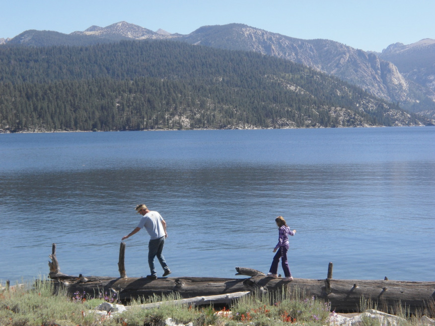
Mild route. Stopped at Lake A. Thomas Edison. Lost our way. All Syncros made it to end. Had a nice picnic at the turn-around gate. Nice views along the trail. Placed a geocache.
The roster included:
By: Jim Davis
Mild route. Stopped at Lake A. Thomas Edison. Lost our way. All Syncros made it to end. Had a nice picnic at the turn-around gate. Nice views along the trail. Placed a geocache.
The roster included:
Syncros (8)Jim’s olive drab 87 Syncro GL
Brian’s white ’87 Syncro Westy Steve’s blue ’86 Syncro GL Ed's white '91 Syncro Westy Sue's '90 Syncro Westy Bill's green '89 Country Homes Dan's gold 'XX Syncro Westy Paul's red 'XX Syncro Westy |
Syncro-nuts (19)Jim & Deanne Davis daughters Teagen (13) and Tehya (11), plus friend Kylie (12)
Brian & Beth Smith with son Gregory (9) Steve & Jo Ann Wacker Ed Shaw & Bonnnie Blanchard Sue Booth Bill Langan Dan and Jing Fleming Paul & Kristin Douglas David Rodriguez caught a ride along in someone's Syncro too. |
Here’s some trail information from a published sources:
ONION SPRINGS OHV ROUTE
From Massey & Wilson "Backcountry Adventures Northern California"
Onion Spring OHV Route is an easy to moderate spur trail that travels through a 300-foot-wide vehicle corridor [surrounded by] the Ansel Adams Wilderness. It commences on the western side of Lake Thomas A. Edison at the Vermilion USFS Campground. The lake is popular with anglers, who fish for German brown, rainbow, eastern brook, and golden trout. Boaters may take advantage of the free public boat ramp. The area is also the trailhead for many popular hiking and equestrian trails into the Ansel Adams Wilderness, including the Pacific Crest National Scenic Trail.
Special Attractions:
Trout fishing at Lake Thomas A. Edison
Views over the San Joaquin River Valley and the Ansel Adams Wilderness
Access to a network of hiking and equestrian trails leading into the Ansel
Adams Wilderness
Difficulty Rating: 4 of 10
Scenic Rating: 10 of 10
Length: 11.4 miles (out & back)
Time: 2.5 hours (out & back)
DIFFICULTY RATINGS
[The information below is mostly excerpted from Massey & Wilson's "Backcountry Adventures" book series difficulty ratings so you'll know how to interpret the ratings above. Ratings or 4-5 seem best suited for what I call "mild to moderate, family friendly 4-wheeling" in a Syncro.]
1 [Graded dirt]
2 High-clearance 4WD preferred, not necessary. These trails are dirt roads, but may have rocks, grades, water crossings, or ruts that make clearance a concern in a normal passenger vehicle.
3 High-clearance 4WDs are preferred, but any high-clearance vehicle is acceptable. Expect a rough road surface; mud and sand are possible but will be easily passable. You may encounter rocks up to 6 inches in diameter, a loose road surface, and shelf roads, though these will be wide enough for passing or will have adequate pull-offs.
4 High-clearance 4WDs are recommended, though most stock SUVs are acceptable. Expect a rough road surface with rocks larger than 6 inches, but there will be a reasonable driving line Patches of mud are possible but can be readily negotiated; sand may be deep and require lower tire pressures. There may be stream crossings up to 12 inches deep, substantial sections of single-lane shelf road, moderate grades, and sections of moderately loose road surface.
5 High-clearance 4WDs are required. These trails have either a rough, rutted surface, rocks up to 9 inches, mud and deep sand that may be impassable for inexperienced drivers, or stream crossings up to 18 inches deep. Certain sections may be steep enough to cause traction problems, and you may encounter very narrow shelf roads with steep drop-offs and tight clearance between rocks or trees.
6 These trails are for experienced four-wheel drivers only. They are potentially dangerous, with large rocks, ruts, or terraces that may need to be negotiated. They may also have stream crossings at least 18 inches deep, involve rapid currents, unstable stream bottoms, or difficult access; steep slopes, loose surfaces, and narrow clearances; or very narrow sections of shelf road with steep drop-offs and potentially challenging road surfaces.
7 through 10 [Not considered for Syncro Safari routes so their descriptions are not depicted here.]
END EXCERPT